Neighborhood names can overlap, but these recognized areas provide a useful way to understand how the city changes between the coast, downtown, the university, the harbor, and the eastern hills.
Coast, UCSC, and Mission Street
Westside Santa Cruz and the Upper Westside
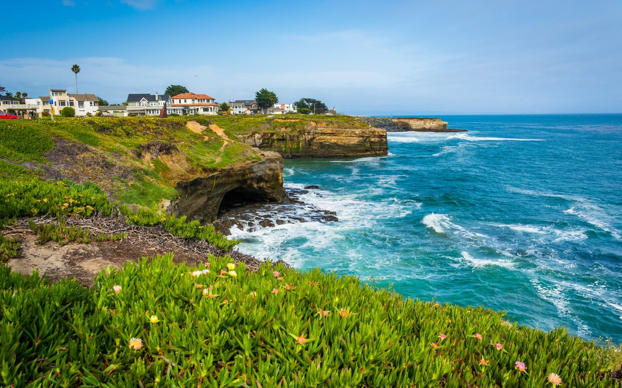
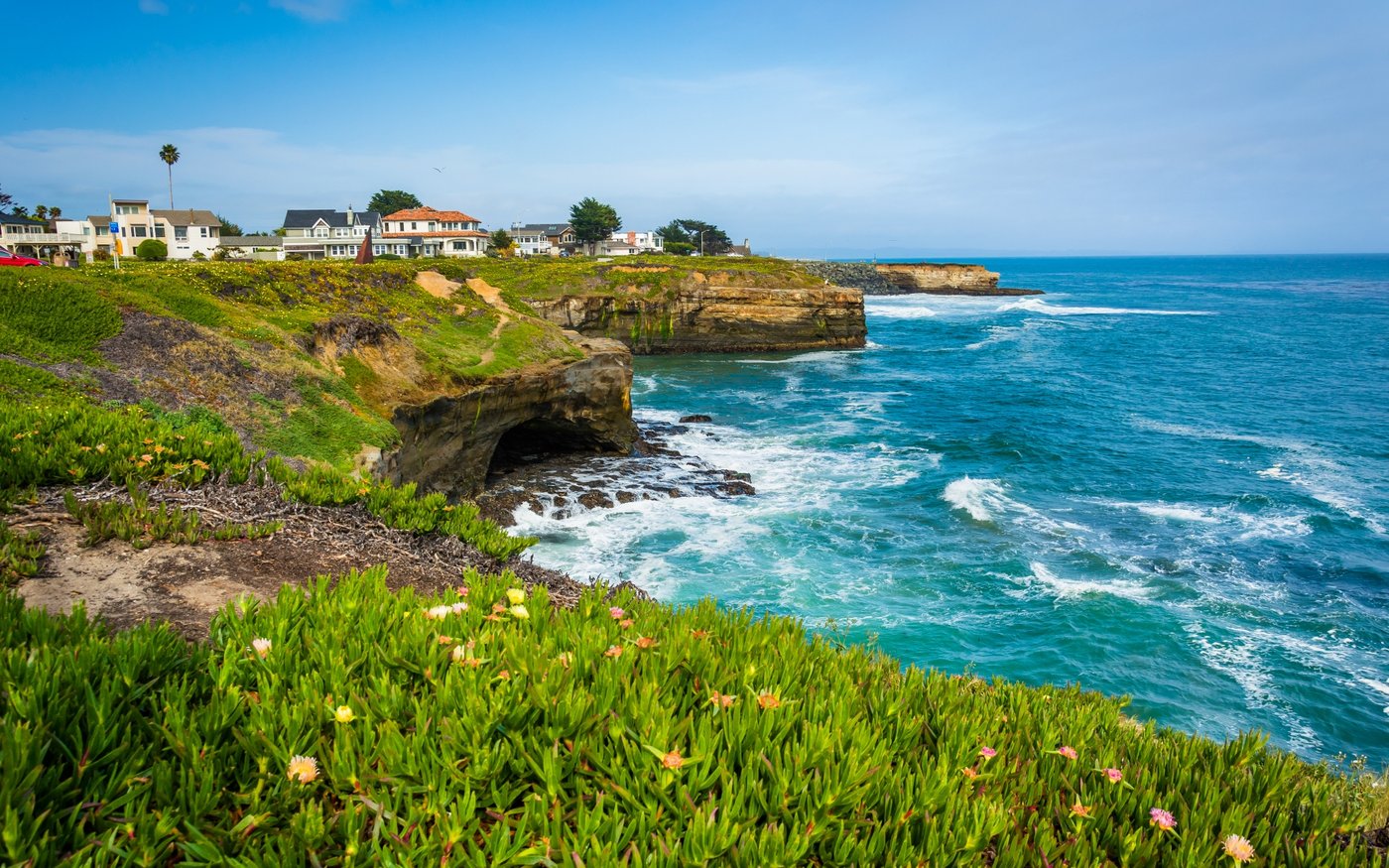
The Westside extends from West Cliff Drive and Natural Bridges toward
Mission Street, the UC Santa Cruz campus, and the city’s northwestern
edge. Lower Westside streets provide convenient access to Lighthouse
Field, Steamer Lane, the Surfing Museum, the Coastal Science Campus,
and Seymour Marine Discovery Center.
Mission Street handles many everyday errands, while the Swift and
Ingalls streets area offers cafés, food businesses, tasting rooms,
fitness studios, and specialty shops. Farther uphill, the Upper
Westside becomes more residential and wooded near UCSC, the Arboretum
and Botanic Garden, and Pogonip.
Beach, Harbor, and East Cliff
Seabright Santa Cruz and the Harbor
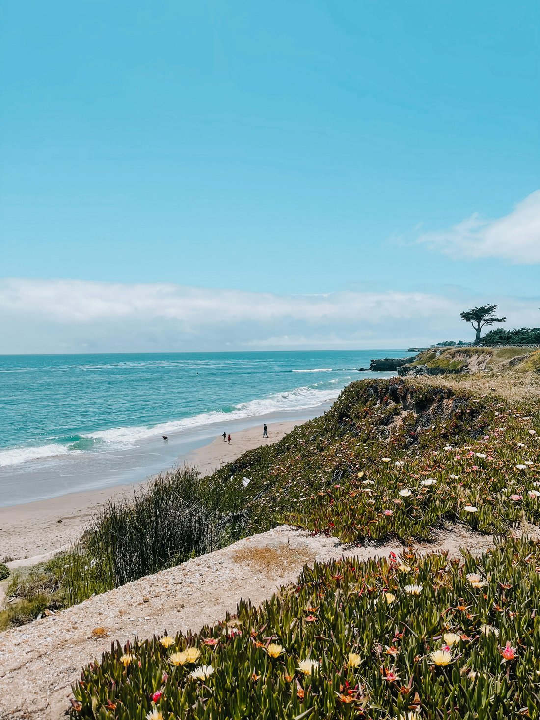
Seabright sits between the San Lorenzo River and Santa Cruz Harbor.
Seabright State Beach, the Museum of Natural History, Murray Street,
and the harbor give this area a clear identity that is separate from
both Downtown Santa Cruz and the Boardwalk.
Seabright Avenue adds restaurants, cafés, and neighborhood businesses
within the residential area. The streets include cottages, bungalows,
Craftsman-style houses, and newer infill, with quieter interior blocks
only a short distance from the beach and harbor routes.
Soquel Avenue and Central Access
Midtown and Eastside Santa Cruz
Midtown is centered around Soquel Avenue and the residential streets
between downtown, Seabright, Arana Gulch, and the upper Eastside. The
corridor includes restaurants, cafés, services, neighborhood markets,
and the historic Rio Theatre.
Arana Gulch provides an open-space connection from nearby residential
streets toward the upper harbor. Farther east, the city gradually
becomes more elevated and residential around Frederick Street,
Prospect Heights, and DeLaveaga.
Pacific Avenue and the Waterfront
Downtown Santa Cruz and Beach Hill
Downtown Santa Cruz is organized around Pacific Avenue and the nearby
side streets. Bookshop Santa Cruz, the Museum of Art & History,
Abbott Square, restaurants, shops, the Civic Auditorium, and the San
Lorenzo Riverwalk are concentrated within this central district.
Beach Hill occupies the elevated streets between downtown and the
waterfront. Depending on the exact location, Pacific Avenue, Cowell
Beach, Main Beach, the Wharf, and the Boardwalk can all be reached
within the same part of the city.
Wooded Hills and Recreation
DeLaveaga, Prospect Heights, and Santa Cruz Gardens
The eastern and northeastern side of Santa Cruz rises away from the
waterfront toward DeLaveaga Park and Prospect Heights. Streets can be
curved or sloped, and the setting becomes greener and more residential
than the central commercial districts.
DeLaveaga Park includes trails, golf, disc golf, archery, picnic
areas, and Audrey Stanley Grove. Nearby Santa Cruz Gardens and
Pasatiempo commonly appear in Santa Cruz-area searches, although they
sit beyond or along the city’s edge and have distinct surroundings.
Parks and Regional Routes
Harvey West, Mission Street, and Northern Santa Cruz
The northern side of central Santa Cruz includes residential pockets
near Harvey West Park, Mission Street, Ocean Street, Pogonip, and the
routes leading toward Highways 1, 9, and 17.
Harvey West Park supports sports, swimming, cycling, picnics, and
family recreation. Pogonip creates a transition from the city into
open space, while the nearby Tannery Arts Center brings artist housing,
studios, and performance spaces to the San Lorenzo River corridor.